Known for an abundance of waterfalls, extinct volcanoes, and wide a variety of microclimates and vegetation, Wells Gray Provincial Park measures 540,000 ha (1.9 m acres). It is most frequently accessed from my hometown Clearwater, just south of the main entrance. The Park extends from Mahood lake in the southeast, to Murtle Lake near Blue river in the west, all the way north to Mt Hogg and Mt Goodall, northeast of Quesnel lake. It is an enormous and ecologically diverse park, with most modern visitors not venturing further north than Azure or Hobson Lakes.
While the natural beauty of the Park’s lakes, rivers, and volcanoes is often emphasized, local indigenous peoples have deep ties to the area. There are currently approximately 50 recorded archaeological sites within the Park’s boundary, a relatively small amount given its vast size. Although few in number there is great diversity in the site types recorded. Cultural depressions (habitation, cooking, and storage features), trails, lithic scatters of stone tools, mounds for temporary shelters, and rock art are all represented here.
It’s important to recognize the relative paucity of recorded sites results from a lack of archaeological studies, not a lack of indigenous land use. The majority of the studies conducted in the Park were done in late the 1960s, 70s, and into 80s. These early surveys focused on broad areas adjacent to water sources, with the goal of recording the large, obvious sites. There was little to no subsurface testing completed, so early archaeologists recorded only what was visible on surface. In this way they were often severely limited by ground cover and the natural movement of sediments from water, gravity and erosion that often bury sites. Approximately 20 of the 50 of archaeological sites recorded in Wells Gray are located around Mahood Lake. This was a direct outcome of the easy access to Mahood Lake combined with various lakeside developments that triggered archaeological studies. We can fully expect that if more intensive archaeological studies were completed, many more sites would be found.
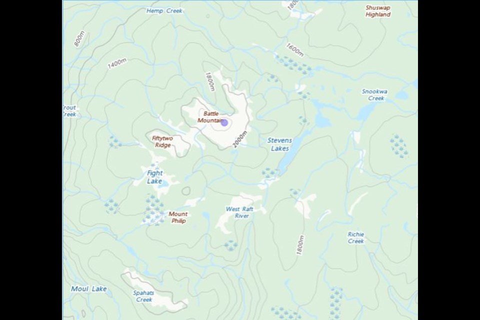
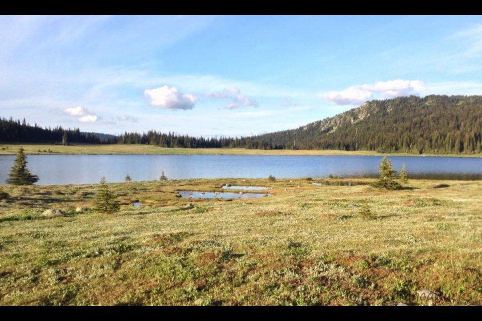
One of the largest sites recorded in the Park is ElQw-2, registered as a ‘Food Harvesting Fence’. Originally recorded by an archaeologist in 1971, and revisited in 1987, this site is comprised of a caribou fence used to drive herds into the lake for ease of hunting. This fence is located in an area known as ‘Indian Meadows’ and is just a few kilometers away from Battle Mountain. The naming of Battle Mountain and Indian Meadows, as well as nearby Battle Creek and Fight Lake, is a tapestry deeply woven in indigenous history. The caribou fence at ElQw-2 is a key remaining piece of history as it represents the instigation of the well-known battle for which these places are named.
Throughout the 1800s, caribou herds migrated through what is now Wells Gray Park from the Chilcotin region in the east. The Tsilhqot’in nation are reported to have had control of much of the migration route at that time, although the Secwepemc peoples frequently hunted in the Battle Mountain and Indian Valley areas. Around 1875 the Tsilhqot’in had built long fences along a small lake in that vicinity and were chasing the caribou into the water for slaughter. The battle was a result of an observed trespass coupled with declining numbers of caribou. The records are unclear if there was a winner.
The records are also unclear if the harvesting fence recorded in 1971 at ElQw-2 is the same fence built by the Tsilhqot’in that spurred the infamous battle but it’s certainly possible, perhaps even likely. The fence was reportedly made from stone and wire so this important piece of indigenous history should be preservable well into the future, along with it’s connected place names.


